
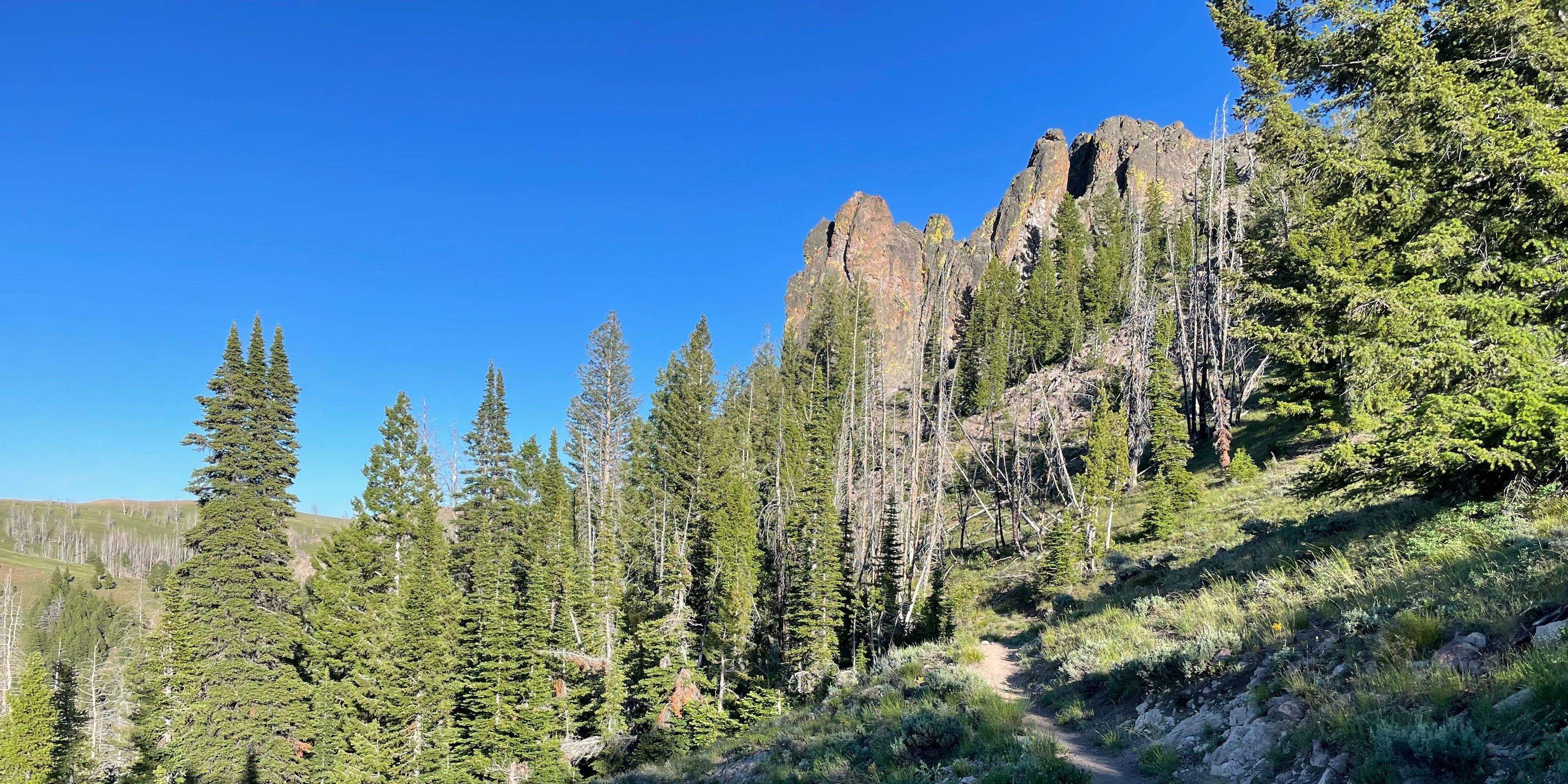
The volunteer moto crew reports they cut out Middle Fork and Warfield Connector and it is clear of snow. They report cutting out over 70 trees in the area!
Reported on Jun 4, 2026 at 9:29 PM by Ashley
Forest Service reports a sheep band is grazing at the top of Warfield they will graze up there for the week before making their way down towards Warm Springs Road. From there the band will graze up Castle Creek. (Trail 141)
A second sheep band is grazing near Packer Gulch and will graze towards Placer Creek. This band will truck off the allotment on 08/03.
Updated Jul 31, 2026 at 1:55 AM by Ashley
Warm Springs
| ABC | Distance | Open | |
|---|---|---|---|
Barr Gulch Trail #168 | 6.22km | ||
Castle Rock Trail #140 | 11.88km | ||
Dollarhide Summit 995 | 3.09km | ||
Meadow Creek Trail #302 | 6.8km | ||
Middle Fork - South Fork Trail #199 | 11.23km | ||
Middle Fork Warm Springs 150 | 9.72km | ||
Placer Creek Trail #141 | 6.22km | ||
Red Rocks Trail #975 | 3.52km | ||
Red Warrior - Warfield Connector Trail #120 | 2.15km | ||
Red Warrior Tr. No. 152 | 12.44km | ||
Rooks Creek Trail #145 | 9.55km | ||
Rough Canyon Trail #973 | 5.1km | ||
Wanderer's Way - Heidelberg Hill Trail | 1.66km | ||
Warfield - South Fork Trail #151 | 13.83km | ||
Warm Spring Road | 31.8km | ||
Warm Springs Driveway 084 | 9.53km |

Developed with